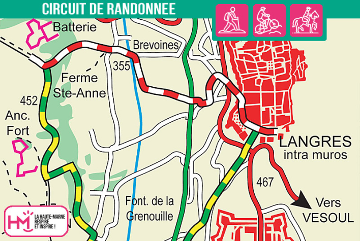
A loop between heritage, nature and wide horizons:
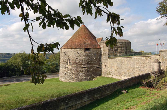
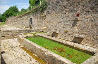
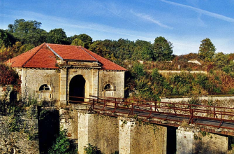
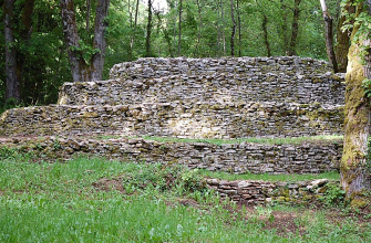
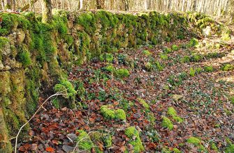
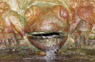
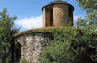
Departing from Langres or Saints-Geosmes, this 15km loop will take you through the landscapes of the Langres plateau and its rich heritage. On easy but sometimes exposed paths, this walk is aimed at regular walkers looking for an active and cultural outing. The route alternates between farm tracks, woods and open views over the surrounding plains. It skirts the site of the Bonnelle fort, the only defensive structure in Langon to have come under enemy fire, passes along the Blanchefontaine avenue lined with lime trees to reach the Grenouille fountain and its sculpted stones, and takes in the astonishing Buzon "snails" - spiral-shaped dry-stone constructions where interpretation panels await you. Allow around 4 hours to get the most out of this accessible walk, which combines moderate effort with immersion in the Gallo-Roman and military history of the area.
![]()
The walk is available on the free Id-Vizit app!
Id-Vizit is your personal travel companion, offering you personalised, fun and interactive tours!
+ More info on Id-Vizit
La croisée des voies romaines - PR N°29
Localisation : LANGRES