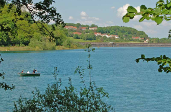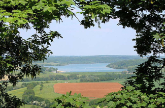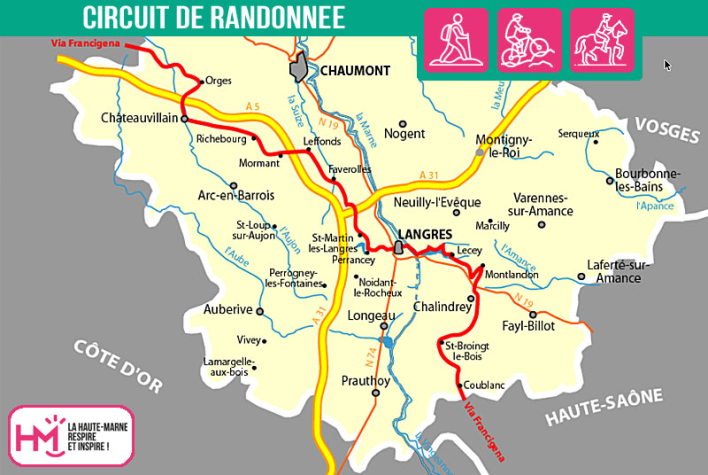
ATTENTION: Given that the path around Lac de la Liez is flooded by the waters of the lake on the northern part, in Baie d'Orbigny, the route is maintained via the southern bank (green and yellow markings).
Great pilgrimages have marked the history of Western Christianity, particularly one of the most popular: the pilgrimage to Rome. Itineraries were gradually developed, allowing the "romés" or "romieux" to benefit from a network of hospices run by religious. A Roman road opened by Julius Caesar in 58 BC already linked France to Rome through Burgundy.
The oldest written itinerary of an Anglo-Saxon pilgrim is that taken in 990 by Sigeric, Archbishop of Canterbury, who travelled on foot to Rome to meet Pope John XV and receive the pallium (investiture robe). His route took him through Guines, Thérouanne, Bruay, Arras, Laon, Reims, Besançon, Pontarlier, Lausanne, St-Maurice, over the Great St Bernard Pass, down to Aosta, Pavia, Lucca and Siena, before arriving in Rome.
This route was first called the "Via Francigena" in 876, to indicate that the flow of travellers came from the kingdom of the Franks (Belgium, the Netherlands, northern France). It quickly became a major pilgrimage, commercial and military transit route, where thousands of people from all walks of life, from emperors to ordinary people, crossed paths. This route greatly encouraged cultural exchanges across Europe.
The "Via Francigena" is the name given to the set of routes followed by people travelling between England, France and Italy during the Middle Ages, with Rome as their main destination. This set of routes crossed what is now France, Switzerland and Italy, from Piedmont to Lazio. This route was also known as the via Romea, the route taken by the romieux, the pilgrims who travelled to Rome, often continuing on to Jerusalem, San Michele del Gargano or Mont-Saint-Michel... ||But it would be a mistake to identify the Via Francigena solely with the itinerary of Sigeric, Archbishop of Canterbury, who made the journey in 990 and left a description of it in a document that summarises his 81 stages on the return journey from the Eternal City to the seat of his bishopric. However, Sigeric's journey gives a face to the millions of pilgrims who travelled to Rome from the various French provinces.
The VFVS (Via Francigena - Voie de Sigeric) association is responsible for welcoming pilgrims to the Haute-Marne region.
VFVS Association
3 rue Delettre - 52120 Blessonville
06 22 78 90 95
fmusrp@orange.fr
Viafrancigena - GR145®
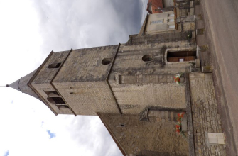
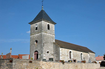
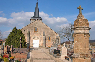
Localisation : COUBLANC