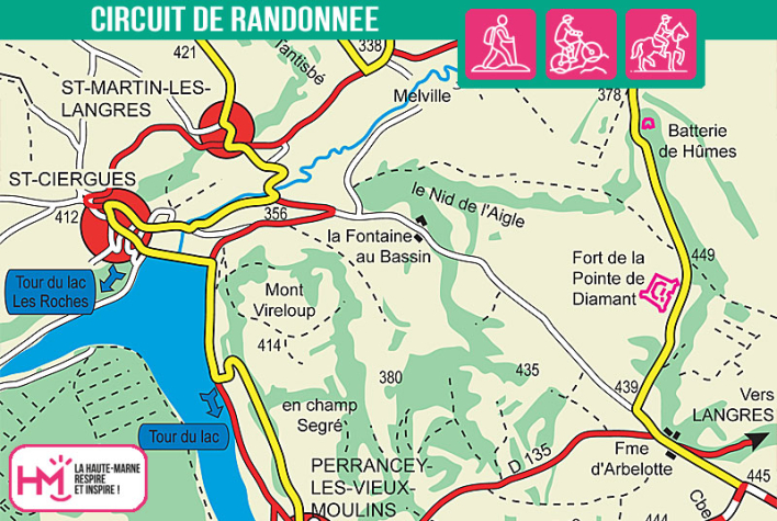
A demanding loop between lakes, wooded ridges and fortified heritage:
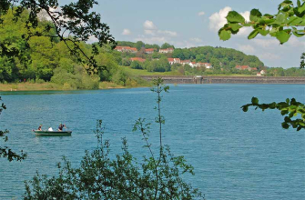
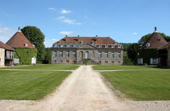
With its well-paced 19 kilometres and steep gradients, this walk is for experienced hikers looking for a complete and challenging circuit. From the Hûmes campsite, you follow a farm track to the Château de Melville and its equestrian centre. From there, the route climbs gently to Roche Tantisbé, before turning off towards Saint-Martin-lès-Langres, offering beautiful views over Lac de la Mouche, which you will pass for a few kilometres.
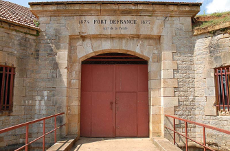
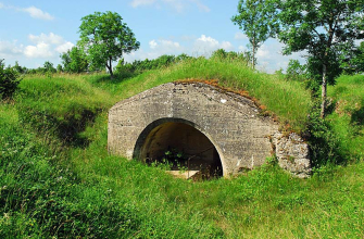
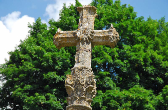
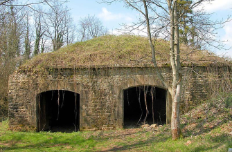
The second part of the route alternates between ascents and descents in the forest, balcony paths above the lake, then crosses Perrancey-les-Vieux-Moulins to rejoin the GR7. A final climb takes you to the Arbelotte farm, then to the Pointe de Diamant fort, the last military landmark before descending via the military battery towards Hûmes.
This varied route combines sustained effort, historic sites (Château de Melville, military batteries) and more gentle sections, rewarding walkers with a wealth of views and a variety of atmospheres.
For those with strong legs!
Le Val de Mouche - PR N°83
Localisation : HUMES