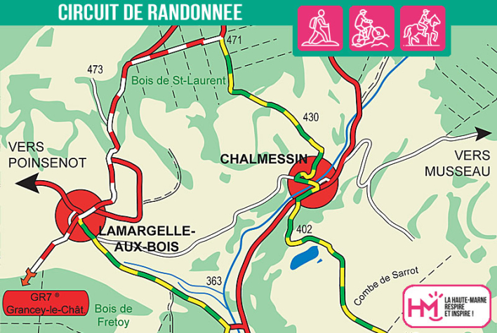
Between characterful villages and deep forests:
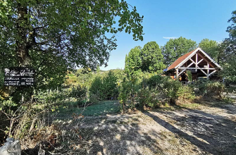
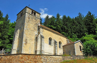
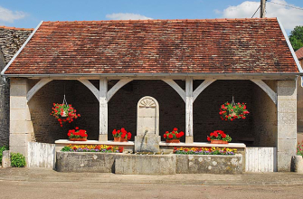
This 15km loop (approx. 4 hours) offers a fine balance between rural heritage and forest immersion. Starting out from Chalmessin, you climb slowly towards the church before reaching the woods of Saint-Laurent. Here, the GR7 guides you through fields and forests to a lovely panorama over the Vals des Tilles. The rest of the route takes you through the charming villages of Lamargelle-aux-Bois and Villemervry, with their wash-houses, churches and old houses.
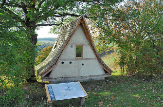
After the mill, the route climbs steeply into the Bois des Roches, particularly at Côte du Rupt. Fortunately, gentler sections alternate with the effort, offering real breathing space. At the top, a picnic area awaits you before the descent through the fields.
A complete hike for comfortable walkers who like to combine discovery and physical activity in an unspoilt natural setting.
Le Vals des Tilles - PR N°42
Localisation : CHALMESSIN