HIKE CLOSED UNTIL FURTHER NOTICE DUE TO THE DANGER OF FALLING BRANCHES OR TREES (Danger caused by ash blight and bark beetle attacks).
A demanding circuit of rugged terrain and spectacular views:
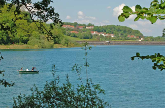
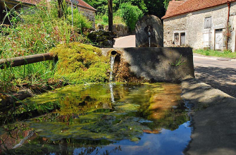
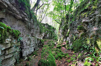
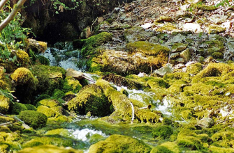
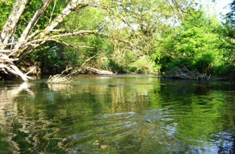
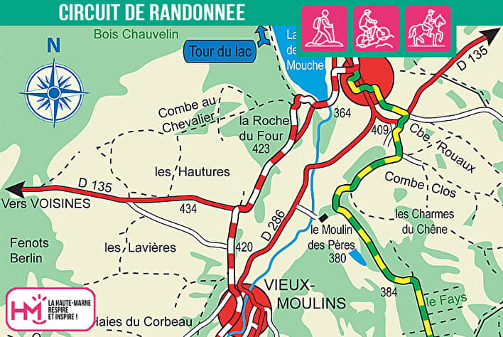
Leaving from Noidant-le-Rocheux, this 16km loop is designed for experienced walkers looking for variety and elevation gain. The route, signposted in green-yellow and red-white (GR7), combines steep climbs, technical descents, forest passages and steep cliffside paths. The route skirts the wild shores of Lac de la Mouche, the deepest and most incised lake in the Langres region, before crossing the Bois du Fays and reaching the viewpoint at Montauban. The route also explores the Sénance valley, classified as a ZNIEFF, with its narrow valleys, limestone cliffs and mountain forests typical of the Langres plateau. A foray as far as the mysterious Sénance spring adds a touch of adventure. Allow 5 hours of hard walking, or 2? hours on a mountain bike for the more experienced. A sporting and immersive itinerary in one of the wildest parts of the département.

Walk available on the free Id-Vizit app!
A real personal travel companion, Id-Vizit offers you personalised, fun and interactive tours!
+ More info on Id-Vizit
Lac et falaises de la Mouche - PR N°43
Localisation : NOIDANT-LE-ROCHEUX