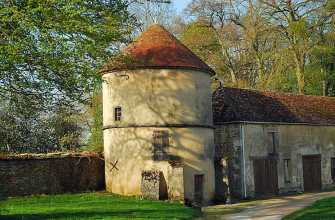
Dampierre is generally spread out, defined by an enclosing street and crossed in the middle by the coudre stream and two parallel streets. The village is dominated by hills and plateaux at altitudes ranging from 450 to 500 metres.
The area appears to have been occupied for at least 5,000 years. Indeed, a number of Neolithic sites have been identified, with the discovery of flint knapping, polished stone axes, etc.
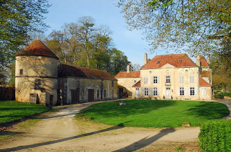
Later, burial mounds with characteristic artefacts (bracelets, torcs, razors, etc.) revealed Gallic occupation, while in Gallo-Roman times, several villas were scattered around what is now the village.
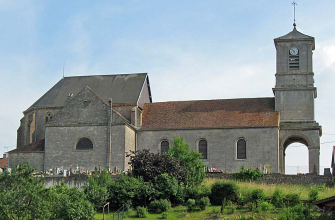
However, the name of the village, derived from the Latin "Domnus petrus", Dom Pierre, is thought to be of later origin, referring to Saint Pierre, whose cult developed in the Carolingian era.
In addition, the manuscripts in the diocesan library tell us that before 1263, "this fiefdom (of Dampierre) and seigneury were owned by several families... considerable, not only because of the size of its territory but also because of a fortress that dominated the country, held by the Barons and Castellans of Nogent...".
![]()
Visit available on the free Id-Vizit app!
A real personal travel companion, Id-Vizit offers you personalised, fun and interactive tours!
+ More info on Id-Vizit
Circuit de découverte de Dampierre
Localisation : DAMPIERRE