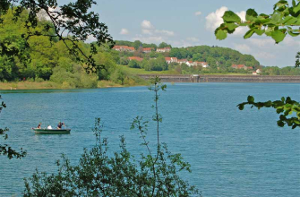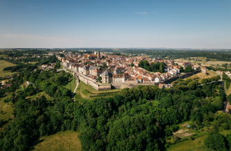
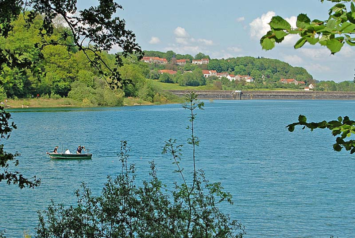
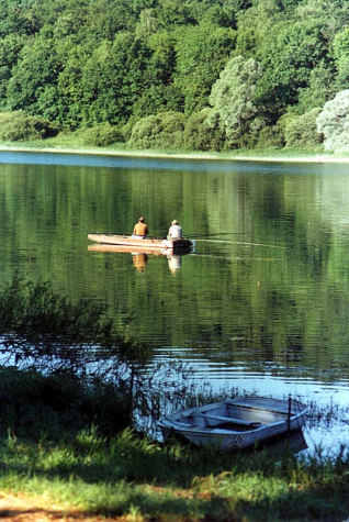
Located 6 km east of Langres, Lac de la Mouche covers a maximum surface area of 96 ha (8 million m3), 70 ha on 30 June and around 55 ha on 30 September. A reservoir classified as category 2 in the public domain, it has 8.1 km of shoreline and a maximum depth of 22 m.
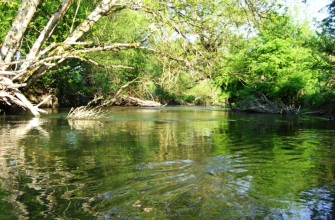
Lac de la Mouche is fed by two 1st category rivers. Anglers will find 2 launching ramps accessible from the east, along the Departmental road 286, which runs alongside the lake for more than half of the reservoir's shores.
Records for Lac de la Mouche :
Carp: 33 pounds for 89 cm
Pike: 36 pounds for 131 cm
Perch: 55 cm
Tench: 6 pounds
Boats: combustion engine boats are not allowed on the entire lake. Electric motor boats are permitted. Permits for movement and mooring must be requested from the Navigation Services, Subdivision DDT, VNF 52250 LONGEAU.
Traffic: access to the banks of the reservoir is forbidden to all motorised vehicles, except for launching boats on the two ramps provided for this purpose.
Regulations: night fishing for carp is prohibited outside the zones and opening periods. Any breach of these rules will be reported. Trolling is also prohibited.
Reservoirs (extract from the Prefectoral Order): it is reminded that fishing in the reservoirs supplying the Entre Champagne et Bourgogne canal, in the event of a drop in the water level, is regulated as follows:
La Mouche reservoir :
Water level below 348.45: fishing is absolutely prohibited.
Water level between 351.25 and 348.45: fishing is authorised using a single line from the shore only.
Pêche au Lac de la Mouche