Between deep nature, discreet heritage and dense forests:
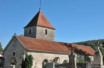
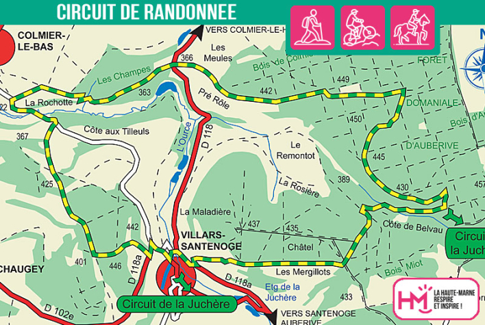
A 13.5 km loop ideal for walkers in search of escape and authenticity! Starting in Villars-Santenoge, this 13.5km route takes you into the heart of the Auberive national forest, alternating farm tracks, woodland paths, challenging climbs and technical sections. From the village pond, the route starts gently before climbing through the undergrowth to the heights of the Colmier-le-Bas wood. Here, hikers will appreciate the peace and quiet of the forest slopes, the rustic crossings such as the small log bridge, and the steep ascent of the Côte de Belvau. At the halfway point, the views open up briefly before plunging back into the coolness of the forest. Along the way, you'll come across the discreet Romanesque church of Villars, the ponds of La Juchère and an astonishing work of art in the middle of nature: the Carré Rouge. This hike is perfect for motivated walkers, ready to savour the effort in an unspoilt setting.
L'Ource - PR N°93
Localisation : VILLARS-MONTROYER