A peaceful loop between water and woodland:
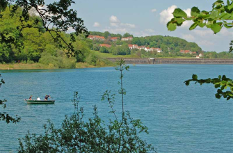
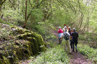
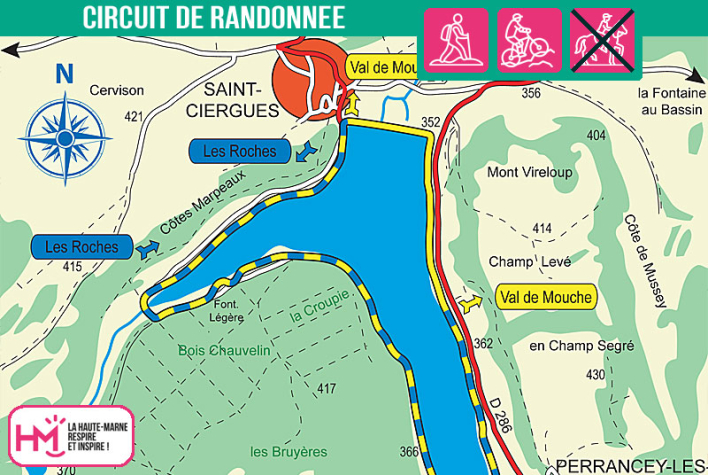
This 6.5km walk (allow 2 hours) takes you all the way around Lac de la Mouche, the smallest and wildest of the four lakes in the Langres region. Start from the square in Saint-Ciergues: after a few metres on the road, a narrow path takes you to the water's edge. You walk along the banks in a very tranquil setting, past a tufa formation, then through undergrowth, clearings and small footbridges depending on the season. The route alternates between shady passages, open views and wetlands, with several picnic areas for a tasty break. The return journey follows the masonry dyke (unique in the region), lined with pretty viaduct-style arches. It's an easy, rejuvenating walk, punctuated by natural discoveries, perfect for a family outing away from the hustle and bustle, to the rhythm of your footsteps and the lapping of the water.
![]()
Walk available on the free Id-Vizit app!
Id-Vizit is your personal travel companion, offering you personalised, fun and interactive tours!
+ More info on Id-Vizit
![]()
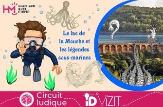
Fun tour also available on the Id-Vizit app:
Lac de la Mouche and underwater legends
Together, we're going to discover the lake, you on the hiking trail and me under the water. This lake is known as the most natural of the 4 lakes in the Langres region. In spring, from April to June, the water is so clear that you can dive right in! Look closely and you might just spot the bubbles of our diving friends, who have also come to take advantage of the visibility offered by this lake. You know, when we dive, we think of legends and their monsters, each more bizarre than the last. But do you know all these stories?
Tour du lac de la Mouche - PR N°139
Localisation : SAINT-CIERGUES