Between rural heritage and peaceful nature :
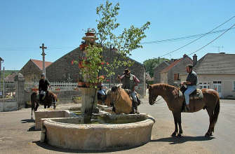
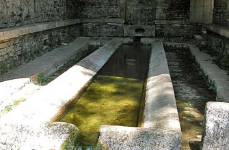
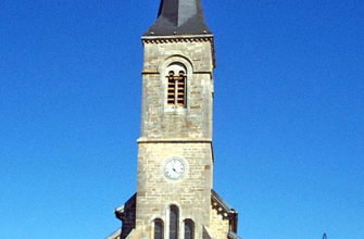
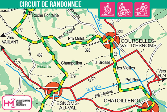
The Val d'Esnoms trail offers a wonderful immersion in a lively rural landscape, with farm tracks, gentle forests and villages steeped in history. From the square in Esnoms-au-Val, you can quickly gain height, with open views over the orchards and surrounding plateau. The route passes through the hamlets of Châtoillenot and Courcelles-Val-d'Esnoms, dotted with churches, footbridges and rivers such as the Badin and Vezin. Heritage enthusiasts will love the tympanum of Saint-Michel church, the traces of ancient occupation, and the famous "cabane des secrets", a local hotspot. A longer variant (18 km - 4h30 - 400 m ascent) explores the heights of the Bois des Montots and the Dhuis farm. This well-paced route, with no major difficulties but with some beautiful stretches of open countryside, will delight walkers who enjoy discovering welcoming villages and varied landscapes.
![]()
Walk available on the free Id-Vizit app!
Id-Vizit is your personal travel companion, offering you personalised, fun and interactive tours!
+ More info on Id-Vizit
Le Val d'Esnoms - PR N°76
Localisation : CHATOILLENOT