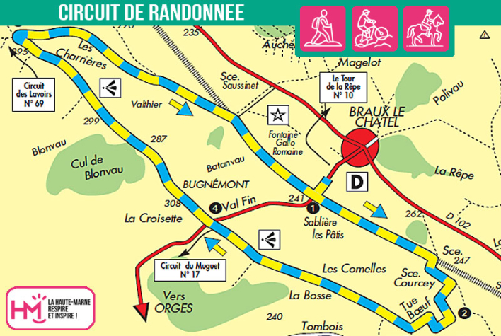
A panoramic and accessible loop around Braux-le-Châtel :
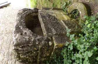
Departing from Braux-le-Châtel town hall, this 9.5 km trail offers a wonderful family walk through valleys, ridges and open vistas. Easy to get to (approx. 2hrs 20mins walk), the route first runs alongside the small Brozé stream, then climbs gently to the wooded heights of the plateau. Along the way, a variety of trees line the paths and clearings offer panoramic views of Bricon, Montsaon, the Brozé valley and even the cross of Colombey-les-Deux-Églises on the horizon. The gentle descent to Braux passes through pastures and rolling countryside typical of the area. Don't miss the Gallo-Roman fountain in the village, a vestige of a rich ancient past. The blue-and-yellow signposts provide easy guidance for young and old on this nature trail, ideal for a countryside outing combining gentle walking, local history and moments of contemplation.
Valaumont - PR N°32
Localisation : BRAUX-LE-CHATEL