In the north of the Langres region, there is a place where a drop of rain, depending on whether it falls here or three metres away, flows into the English Channel, the Atlantic or the Mediterranean, after swelling the Rhine, the Seine or the Rhône. The difference in destination results from its location in relation to the watershed.
Watershed: The catchment area of a river is the area of land where the rainwater that falls on it runs off and infiltrates more or less directly, but inevitably, into the river. The catchment areas are separated from each other by an imaginary line that often corresponds to the crest of a hill or mountain, and that can be compared to the ridge of a roof, with the gutters representing the rivers. This line is called the 'watershed'. A river's catchment area is the sum of the catchment areas of all its tributaries plus its own catchment area before its first confluence.
Three watersheds in FRANCE: When three watersheds meet, the result is a "watershed". In France, there are three main watersheds:
1- Near Langres, where the Rhine, Seine and Rhône basins meet,
2- Near Langogne (48), where the Garonne, Loire and Rhône rivers meet,
3- Finally, near Pouilly-en-Auxois (21) where the Seine, Loire and Rhône basins meet.
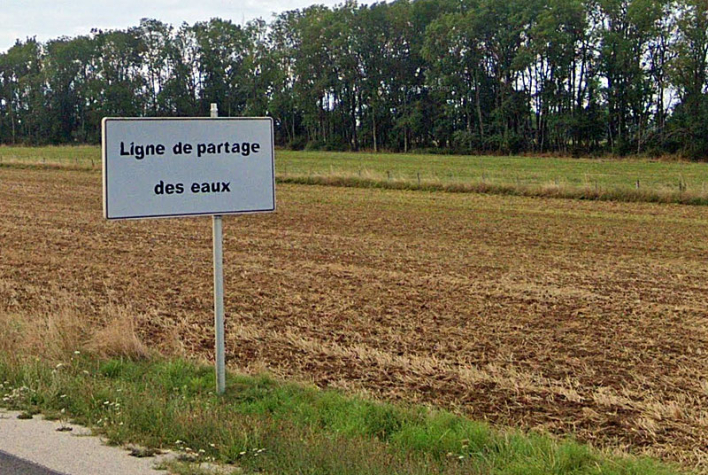
Point triple de partage des eaux Manche Atlantique Méditerranée


