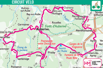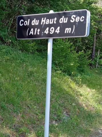
Altitude: 492 m.
Situated on the boundary between Pierrefontaines and Auberive, the Col du Haut du Sec is the ideal crossing point between the agricultural plateau of Langres to the east and the forests of the National Park to the west. The pass is flanked to the south by the highest point in the Haute-Marne at 523 m and to the north by the Haut du Sec relay facilities at 516 m.
This is the 4th pass listed by the Comité Départemental de Cyclotourisme de Haute-Marne.
Col du Haut du Sec