Between forest, heritage and great views :
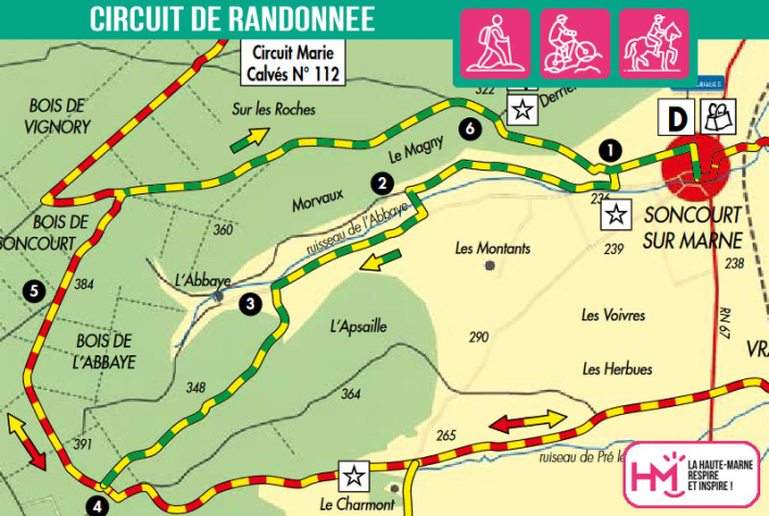
Starting out from Soncourt-sur-Marne, this 10.5km route takes you through a hilly landscape where nature and memory mingle. From the village, the route gradually climbs towards the woods of the Abbey, crossing meadows and running alongside the stream of the same name. A fine ascent through a wooded valley leads to the forest plateau, before joining the Marie Calvès trail. After a shady section on the edge of the woods, the path leads to the paraglider take-off area, offering superb views over the valley. The return journey is a gentle descent to the village. For hikers looking for a longer option, a loop via Vraincourt is available (+ 8.5 km). A 3-hour walk, this green-yellow and yellow-red signposted trail offers a good balance between moderate effort, forest landscapes and a discreet heritage, around the remains of the former Cistercian abbey of La Genevroye.
L'abbaye de la Genevroye - PR N°110
Localisation : SONCOURT-SUR-MARNE


