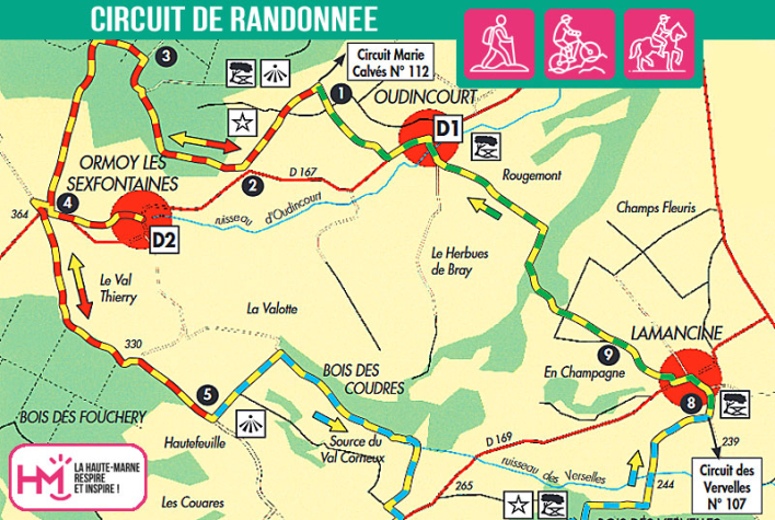
A complete trail through plateaux, valleys and forests:
With its 17.5km and over 5 hours' walking, this route from Oudincourt is aimed at trained walkers looking for a change of altitude, distance and variety. The route, which is signposted, takes in a series of steep climbs through woodland, across agricultural plateaux, down to the edge of the forest and along ridge paths. The landscapes alternate between limestone valleys, open meadows, dense woods and discreet villages. Passing by the Trois Tilleuls calvary offers a remarkable view of the surrounding countryside. Along the way, a number of alternative routes intersect with other sporting loops, such as the Marie Calvès circuit and the Vervelles circuit, adding to the appeal for more demanding walkers. Orchid patches, landscaped ponds and picnic areas line this physical but accessible route. Ideal for testing your stamina while exploring the little-known slopes of the south of Haute-Marne.
Les trois tilleuls - PR N°111
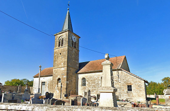
Localisation : OUDINCOURT