27 km of history and endurance:
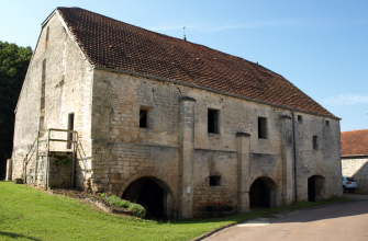
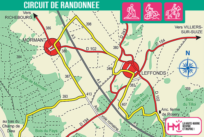
This 27km route from Leffonds is designed for hardened walkers looking for sustained effort and historical discoveries. The route, signposted in yellow, takes you through forests, plateaux and valleys, with several technical sections and a good cumulative difference in altitude. First you follow the D102 before plunging down towards the hamlet of Mormant, a former Templar commandery with remarkable remains. You then join the old Roman road to Bugnières, where a mysterious underground chamber awaits you. The route then passes through the Marac woods and alongside the Chenot pond, perfect for a picnic break before tackling the final kilometres through the Haut Mont woods. Allow around 7 hours' walking, or 3? hours on a mountain bike for the more experienced. An intense and captivating hike, combining a physical challenge with an immersion in the medieval history of the Haute-Marne.
Les Templiers - PR N°22
Localisation : MARAC