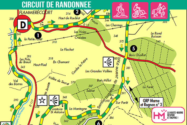
History, nature and unspoilt valleys:
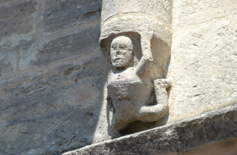
This 16km route from Flammerécourt offers a wonderful immersion in the typical landscapes of the Haute-Marne, between wooded valleys, meadows and historic villages. Marked out in green and yellow, the route alternates between forest paths and open stretches, with a few steep climbs, notably in the Bois du Faÿs and towards the Val des Barres. Along the way, you'll come across Blécourt, frequented in the Middle Ages by Jean de Joinville and Joan of Arc, the oratory of Saint-Antoine, the charming flower-filled village of Leschères-sur-le-Blaiseron, and the remains of an old mill. The trail also runs alongside the River Blaiseron, in the heart of a natural area of outstanding ecological interest (ZNIEFF). Allow around 4 hours on foot to get the most out of this varied trail, which is suitable for regular walkers and combines moderate effort, bucolic views and local heritage.
The shorter variant (without passing through Blécourt) is 12 km long.
The short northern loop from Blécourt (without going as far as Flammerecourt) is 6 km long and has a height difference of 65 m.
Le secret du Blaiseron - PR N°56
Localisation : FLAMMERECOURT