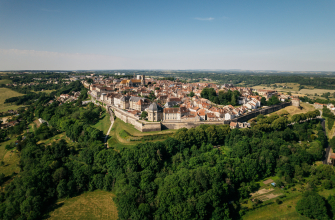
Between vast landscapes, secret woods and little-known heritage :
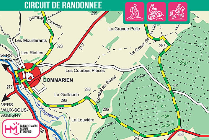
This beautiful 13km loop (approx. 3h30) starts from the Dommarien campsite and is aimed at comfortable walkers who enjoy varied routes over open terrain. Right from the start, you cross the village by the old stone bridge, then join the Combe au Bœuf to immerse yourself in the forest. The trail then alternates between forested stretches and wide open plateaux, where the sun can be very strong: bring a hat and water bottle, especially in summer.
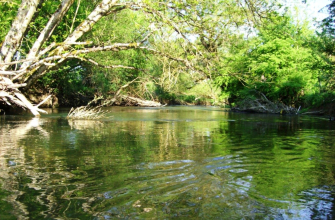
The route leads through the Chassigny-Aisey municipal forest before descending to the wide plains of Grande Pelle and Grandes Herbues. At the end of the route, the Bois de l'Échalement provides freshness and wild charm. The return to Dommarien is punctuated by the Combe Crousot, a second washhouse and the peaceful Vingeanne.
A hike that combines gentle effort, wide open spaces and discreet rural heritage, ideal for an active half-day.
Le creux de la chaudière - PR N°142
Localisation : DOMMARIEN