La borne sacrée - PR N°108

Localisation : ANNEVILLE-LA-PRAIRIE

Download the route

La borne sacrée - PR N°108

  • Loop route

  • Distance

    9 Km

  • Height difference

    120 m

  • Foot : Easy | 02h00
  • Mountain biking : Easy | 01h00
  • Equestrian : Easy | 01h30
Departure and arrival : ANNEVILLE-LA-PRAIRIE

Markup

Blue / Yellow (PR up to 10 km) Yellow / Red (Regional GR)

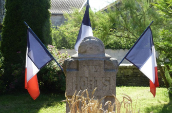
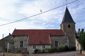
This route towards Meures, crossing the Vazil stream, will take you to the church of Meures, at the foot of which is the Borne de Terre Sacrée. At the corner of the church, a beautiful double sundial will catch your eye. The Haut des Couares offers a beautiful view of the surrounding countryside: Chaumont, Brethenay, Marault, Briaucourt, Bologne and Roôcourt la Côte.
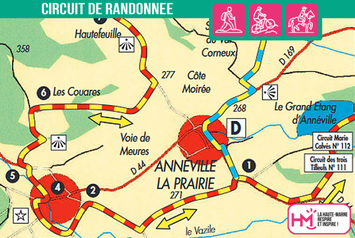
Practical information

Maintenance

  • Servicing : Communauté de Communes de l'Agglomération de Chaumont

  • Markup : FFRandonnée 52 - Communauté de Communes de l'Agglomération de Chaumont

Points of interest

Contact

  • Loop route

  • Distance

    9 Km

  • Height difference

    120 m

Tailor-made getaways

Discover Haute-Marne